
China Top Air Pollution Detection Drone Suppliers
Air pollution rarely stays within the neat boundaries shown on a map. Wind shifts, street canyons, and industrial plumes create sharp local differences. Air Pollution Detection Drones can sample these changing conditions above roads, rooftops, and hard-to-reach sites. They help teams see where ground monitors leave gaps.
The World Health Organization reports that 99% of the global population breathes air exceeding its guideline limits. The State of Global Air 2024 report estimates that air pollution contributed to 8.1 million deaths worldwide in 2021. These figures make reliable measurement more than a technical detail. The gaps matter. WHO Director-General Dr. Tedros Adhanom Ghebreyesus has said, “Air pollution is a threat to health in all countries, but it hits people in low- and middle-income countries the hardest.” His warning underscores the value of better local evidence, though drones alone cannot solve exposure problems.
This guide to China’s top air pollution detection drone suppliers focuses on practical capabilities: sensor options, flight endurance, calibration support, data processing, and after-sales service. A useful platform should measure pollutants consistently and document how its readings are checked against reference instruments. Buyers should also ask how wind, humidity, and payload weight affect results. Not a magic fix. A drone is not a substitute for a calibrated monitoring network, and that distinction is easy to overlook. Still, carefully deployed systems can add useful detail to air-quality surveys.
Air Pollution Detection Drones: Roles and Capabilities in China
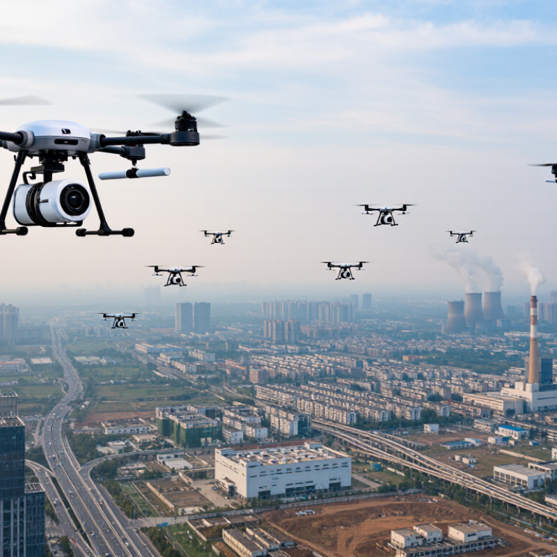
In China, air-pollution detection drones serve as mobile screening tools, extending the reach of fixed monitoring stations. They can sample air at different heights, trace pollution gradients across roads or industrial areas, and revisit locations where readings suddenly rise. A typical payload may measure particulate matter and selected gases, alongside temperature, humidity, and wind. Useful, not magic.
The Ministry of Ecology and Environment’s 2023 China Ecological Environment Status Bulletin reported an average PM2.5 concentration of 30 micrograms per cubic metre across 339 prefecture-level cities. That broad figure provides context, but it cannot describe every street or hour. Drone flights can help investigate local variation, especially when teams compare readings with nearby ground sensors and weather data. The World Meteorological Organization’s guidance on air-quality measurement also underscores the importance of calibration and quality control.
Sensor readings can shift with humidity, vibration, airflow, and sampling height. A colorful flight map may look precise while hiding drift or sparse measurements. Operators should document routes, sensor checks, and weather conditions, then treat drone results as complementary evidence—not automatic substitutes for regulatory-grade stations. Some uncertainty remains; that should be stated, not smoothed away.
